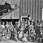
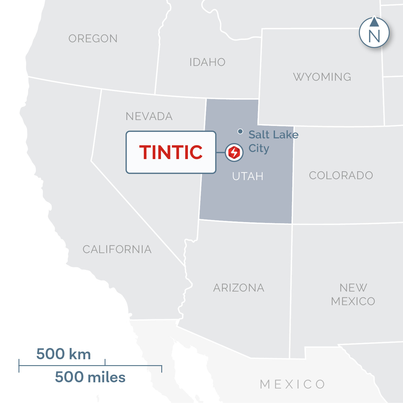
Tintic, Utah
1. 84.6% current ownership interest by acreage; options and lease rights cover balance aggregating to 100% of the mineral title by acreage.

Third largest US silver mining district after Coeur D’Alene, ID and Butte, MT.

Historically there were thirty mines in operation, most closing down during the Great Depression.

2.18 Moz gold, 209 Moz silver, 116 kt copper, 589 kt lead and 63 kt zinc, historically produced from both surface and underground mines.

Located 95km from Salt Lake City, UT

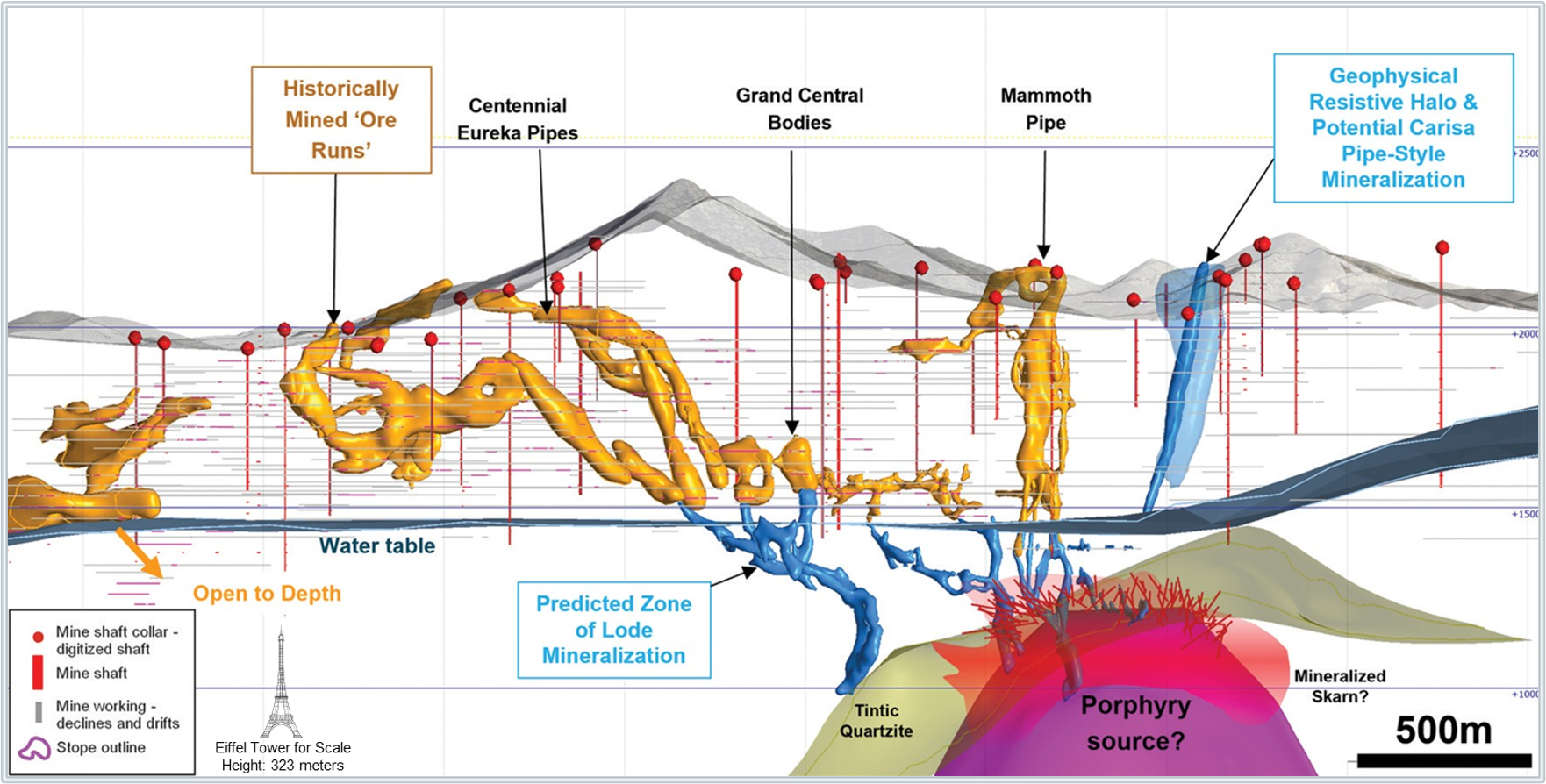
60 km due south of Rio Tinto’s Bingham Canyon porphyry copper-gold mine – one of the most productive copper-gold mines in the world – Tintic’s age and geologic setting are similar.
Historical mining stopped at the water table, but mineralization is believed to continue to depth.
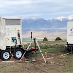
Ivanhoe Electric has used its proprietary Typhoon™ technology to re-invigorate this historically significant USA mining district.
Significant land consolidation
- ~65 km2 of patented and unpatented claims, and an additional 75 km2 of state leases and prospecting permits.
- Ivanhoe Electric has 84.6% current ownership; options and leases to 100%1.
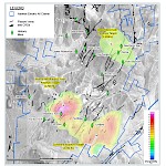
Three porphyry copper targets identified by Typhoon™ survey
- Typhoon™ de-risks mineral project exploration by lowering costs and increasing the depth, breadth and accuracy of surveys.
- Allowing Ivanhoe Electric to potentially discover deposits otherwise thought to be undetectable through conventional survey methods.
Bingham Canyon-like porphyry targets
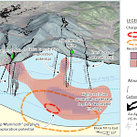
- Rabbit's Foot, Sunbeam and Deep Mammoth targets all appear to have similar characteristics to the mineralized porphyry at the Bingham Canyon mine.
- Targets are fully permitted and ready for drilling.
Possible extensions to historically mined zones
- Diamond drilling will target extensions to historically mined zones beyond their known limits.
- Potential exists to discover additional mineralized zones below the water table.
1. 84.6% current ownership interest by acreage; options and lease rights cover balance aggregating to 100% of the mineral title by acreage.
-
Collar Locations Table (as of December 2024)
DRILL HOLE STATUS DEPTH (m) AZIMUTH (°) DIP (°) EASTING NORTHING ELEVATION TTR-001 COMPLETE 251.46 120 50 402919 4416600 1803 TTR-002 COMPLETE 332.23 120 60 402924 4416793 1809 TTD-003 COMPLETE 469.08 0 -90 405078 4420614 2166 TTD-004 COMPLETE 435.55 0 -90 405078 4420614 2166 TTD-005 COMPLETE 371.26 80 -80 405078 4420614 2166 TTD-006 COMPLETE 379.45 80 -70 405078 4420614 2166 TTD-007 COMPLETE 997 55 -83 405367 4417970 1989 TTD-008 COMPLETE 747.83 61 -60 404339 4418692 1938 TTD-009 COMPLETE 1400.86 61 -60 405490 4419697 2119 TTD-010 COMPLETE 794.31 61 -60 406305 4420482 2216 TTD-011 COMPLETE 827.68 61 -60 404648 4420638 2052 TTD-012 COMPLETE 548.64 63 -64 403430 4420588 1942 TTD-013 COMPLETE 581.48 63 -64 406113 4420106 2241 TTD-013A COMPLETE 1519.43 130 -64 406113 4420106 2241 TTD-014 COMPLETE 1319.78 70 -58 405490 4419697 2119 TTD-015 COMPLETE 1395.07 118 -58 405490 4419697 2119 TTD-016 COMPLETE 1435.61 315 63 404485 4417509 1882 TTD-017 COMPLETE 1027.63 315 63 404648 4420638 2052 TTD-017A COMPLETE 515.42 150 59 404648 4420638 2052 TTD-018 COMPLETE 609.6 157 -65 404646 4420638 2052 TTD-018A COMPLETE 1105.97 285 -50 404646 4420638 2052 TTD-018B COMPLETE 838.2 20 -50 404646 4420638 2052 TTD-018X COMPLETE 349.91 140 -75 404646 4420638 2052 TTD-019 COMPLETE 1421.28 315 -60 404918 4419622 2105 TTD-020 COMPLETE 1669.39 94 -45 404419 4420000 2040 TTD-021 COMPLETE 1265.22 120 80 404479 4421059 2102 - Curent Technical Reports

